Reaper Ltd, the landowner of Land at Marsh House Lane, is in the process of preparing an outline planning application for residential development at the site.
The purpose of this consultation website is to share Reaper Ltd’s vision for the development of the site, and to seek feedback from the local community about the proposals as shown on the indicative site masterplan, so that the ongoing design evolution of the proposals can be informed by the local community. The planning application will then be finalised and submitted in Autumn / Winter 2026.
The site is allocated for housing development in the Blackburn with Darwen Local Plan. The development of the site will help the Borough to meet its housing needs through the delivery of a high-quality housing development that respects the surrounding landscape character and becomes a natural extension to the existing built-up area of Darwen.
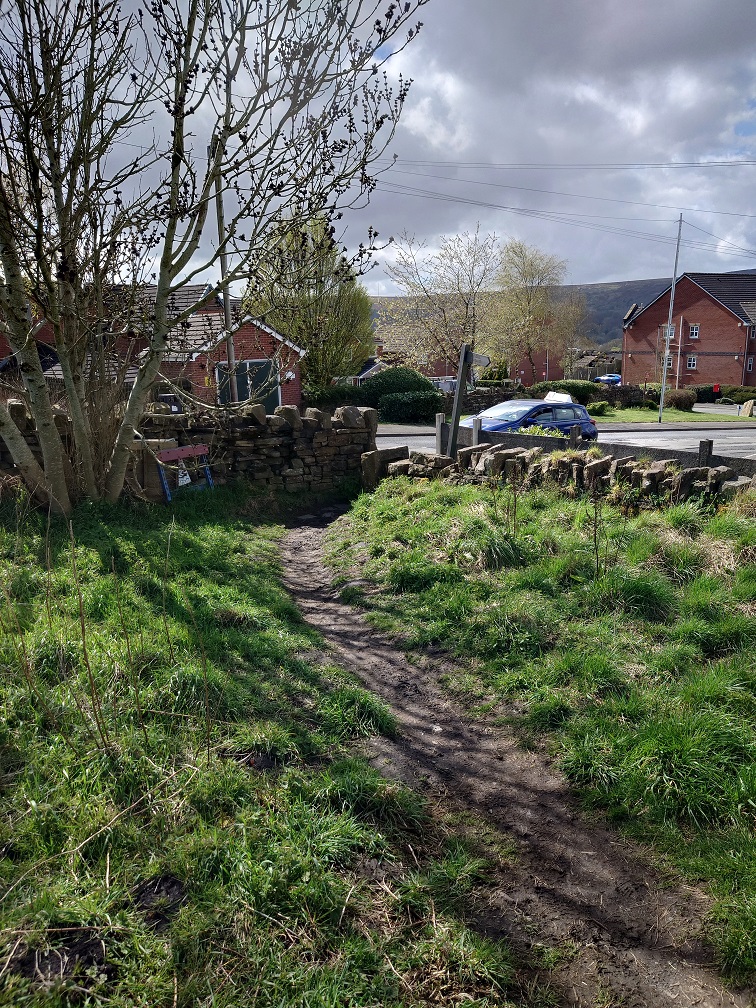
Development of the site for housing will need to comply with the requirements of the allocation in the Local Plan. This will include providing an acceptable mix of homes, in terms of size and type; retaining existing Public Rights of Way; providing open space and areas for play; improving the natural environment of the surrounding area; remediating the site to a suitable level; and ensuring safe access can be achieved.
Site Context
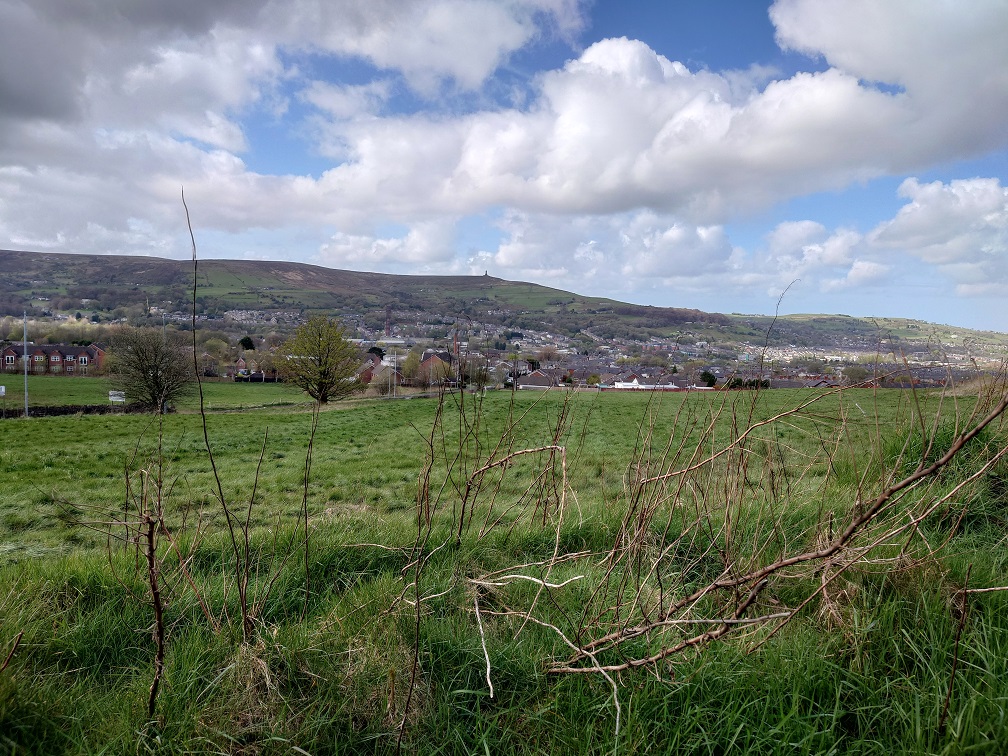
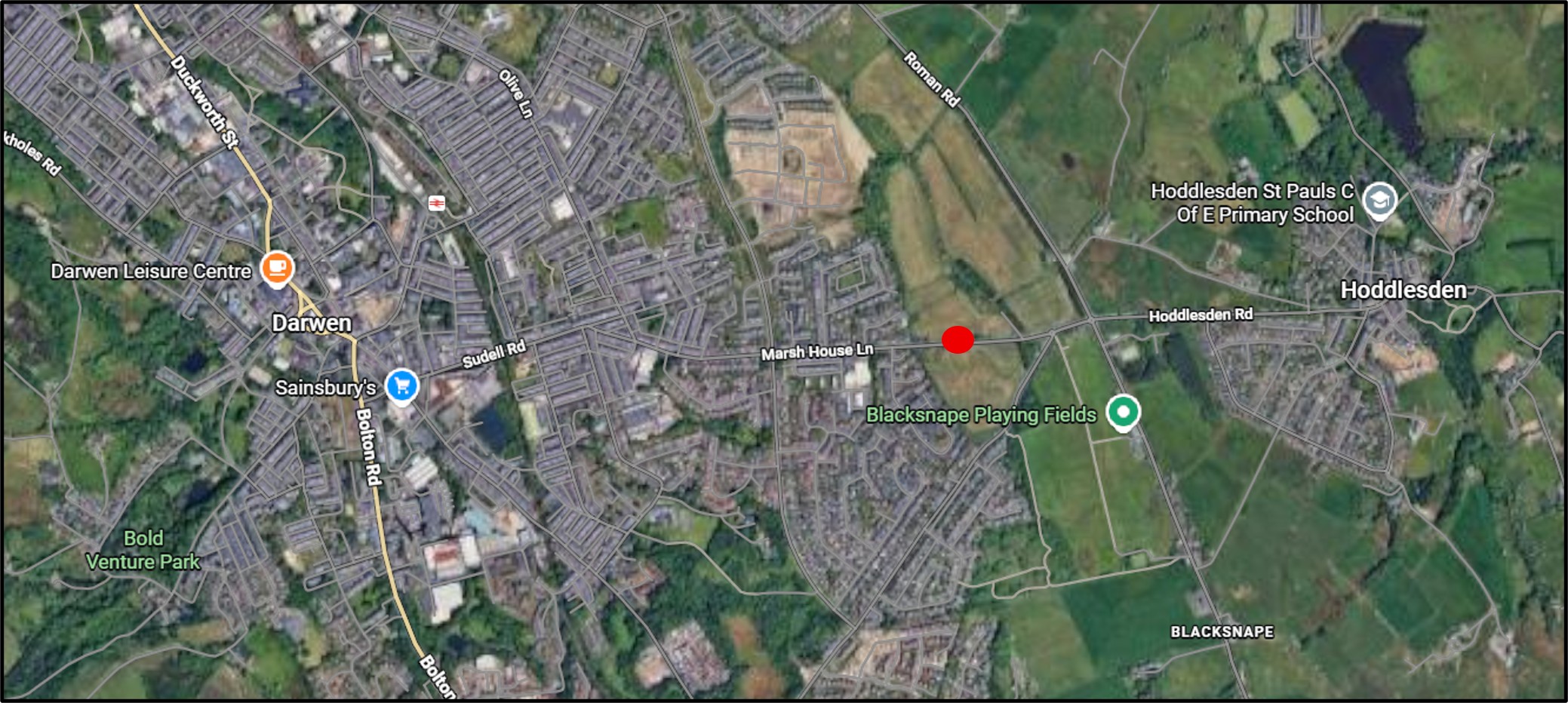
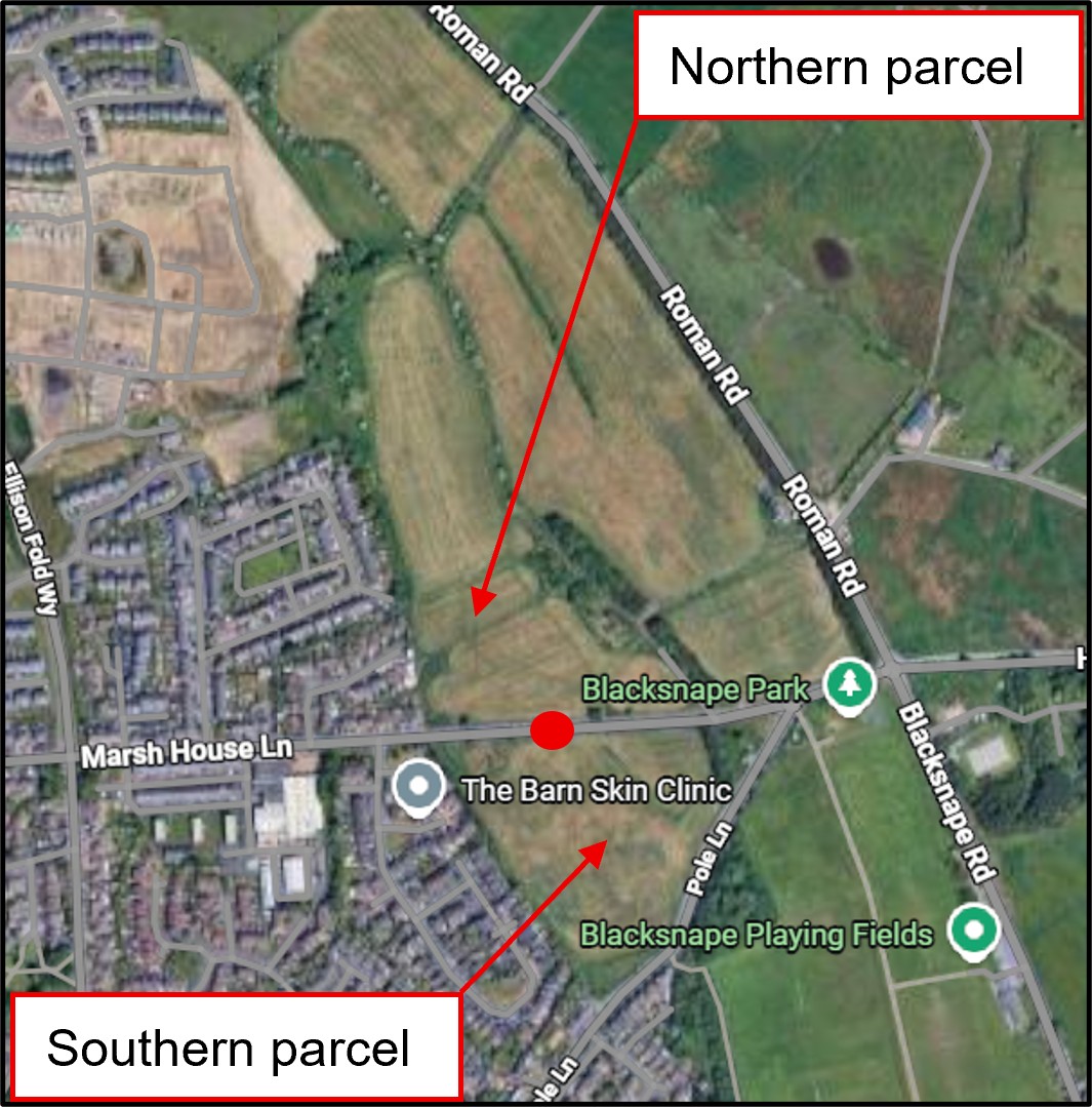
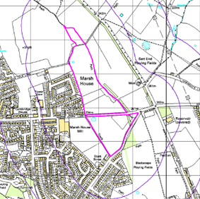
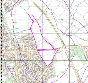
The site is located on the eastern edge of Darwen. It comprises two parcels of land either side of Marsh House Lane. Cumulatively, the area of both parcels is approximately 11 hectares.
The northern parcel is bound by Marsh House Lane to the south, existing and under construction housing to the west, and open land to the north and east. The southern parcel is bound by Marsh House Lane to the north, Pole Lane to the south east, and residential areas to the west.
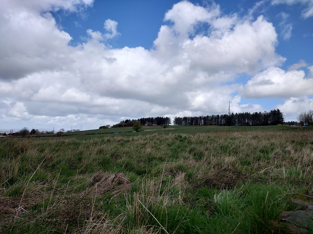
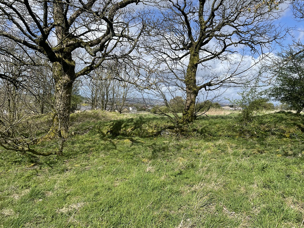
Both parcels of land comprise of greenfield land.
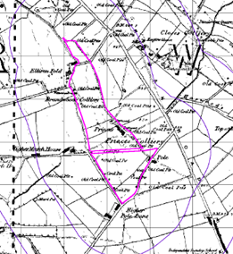
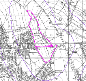
Historic Ordnance Survey maps show that the site originally comprised of agricultural land with multiple field boundaries and footpaths. From circa 1849 to 1894 coal pits, collieries and associated buildings were recorded in the north west, east and south eastern portions of the site. The exception to this is that the Princes Colliery remained in the eastern portion of the site until circa 1993.


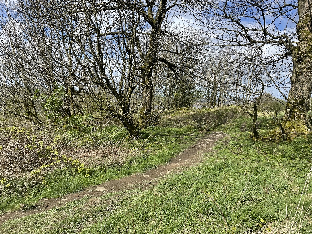
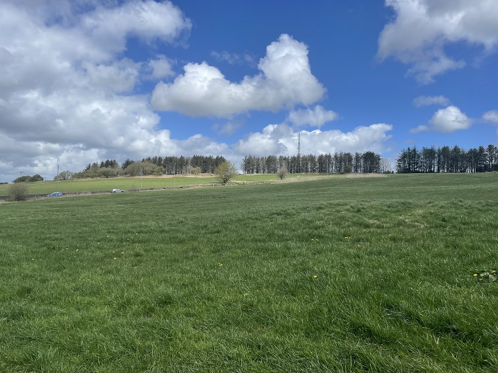
Both parcels of land have variable, sloping topography.
Both parcels of land are located entirely within Flood Zone 1.
Site Photos